Apr 6, 2021
Open Source: Influencing the Future of Social Impact
When nonprofits can use open source tools and technology, it increases their ability to champion social good and be impactful.

This post was written by makepath, a spatial data science firm that is heavily involved in giving back to the community through open source software contributions, particularly open source for GIS.
Open source software development and contributions are a great avenue for technology to champion social good and help address many problems that challenge vulnerable communities.
Three assets of open source software include:
Scalability: The ability to handle the exponential increase in the amount of data generated.
Improvements: The opportunity for many eyes on the code.
Innovation: A growing community of contributors who bring varied ideas and experiences.
Open source contributors, including IBM and Facebook, have dedicated entire teams to help tackle problems such as extreme poverty and disease outbreaks. Recently, the Chan Zuckerberg Initiative invested $4.7 million on open source software and open science projects. When nonprofits have access to open source tools and technology that supports the work they do, it increases their ability to impact society and humanity in positive ways. Here are two projects that are doing just that:
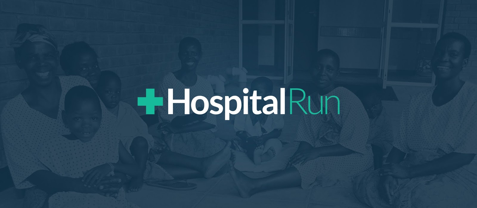
HospitalRun: Open Source Medical Records

This is an open source project that provides offline Electronic Health Record (EHR)/Health Information System (HIS) software to hospitals in developing countries. HospitalRun helps address the problem of handling and transporting medical records, which saves time, resources and most importantly, saves lives.
HospitalRun enabled a palliative care center in rural Liberia to digitize over 500 patient records. The center deployed HospitalRun as an offline first cloud-based server so staff could electronically record data on different computers offline, then sync the data onto the server at the end of the day or when they had access to the internet.
If you have experience with coding, design, user experience, marketing, project management, product requirements, or devops, and would like to contribute, join the HospitalRun Slack channel to learn more. You can also visit the HospitalRun Github page.
Humanitarian OpenStreetMap Team: Improving Disaster Resilience

This project involves a global team that provides open mapping tools, resources and software for humanitarian action and community development. The goal is to create open map data and tools for disaster response, urban risk, healthcare management and sustainable development. The Caribbean region is prone to hydrometeorological and seismic hazards. In an effort to improve disaster risk management, the Caribbean Disaster Emergency Management Agency (CDEMA) and World Bank came up with GeoCRIS, a geospatial data risk information platform.
HOT supported the integration of OpenStreetMap data into GeoCRIS, shared open data resources to improve disaster response, and offered training and technical support as needed.
Software developers, engineers and graphic designers who would like to contribute to this project can visit the HOT Github page. To learn more about how you can help improve our world through open source technology, visit this Github page, which has a collection of impactful ongoing projects.
If you know of any other impactful open source projects or have any questions about the open source ecosystem and how you can get involved, drop us a line at contact@makepath.com or on Twitter.
Apr 6, 2021
Open Source: Influencing the Future of Social Impact
When nonprofits can use open source tools and technology, it increases their ability to champion social good and be impactful.

This post was written by makepath, a spatial data science firm that is heavily involved in giving back to the community through open source software contributions, particularly open source for GIS.
Open source software development and contributions are a great avenue for technology to champion social good and help address many problems that challenge vulnerable communities.
Three assets of open source software include:
Scalability: The ability to handle the exponential increase in the amount of data generated.
Improvements: The opportunity for many eyes on the code.
Innovation: A growing community of contributors who bring varied ideas and experiences.
Open source contributors, including IBM and Facebook, have dedicated entire teams to help tackle problems such as extreme poverty and disease outbreaks. Recently, the Chan Zuckerberg Initiative invested $4.7 million on open source software and open science projects. When nonprofits have access to open source tools and technology that supports the work they do, it increases their ability to impact society and humanity in positive ways. Here are two projects that are doing just that:
HospitalRun: Open Source Medical Records

This is an open source project that provides offline Electronic Health Record (EHR)/Health Information System (HIS) software to hospitals in developing countries. HospitalRun helps address the problem of handling and transporting medical records, which saves time, resources and most importantly, saves lives.
HospitalRun enabled a palliative care center in rural Liberia to digitize over 500 patient records. The center deployed HospitalRun as an offline first cloud-based server so staff could electronically record data on different computers offline, then sync the data onto the server at the end of the day or when they had access to the internet.
If you have experience with coding, design, user experience, marketing, project management, product requirements, or devops, and would like to contribute, join the HospitalRun Slack channel to learn more. You can also visit the HospitalRun Github page.
Humanitarian OpenStreetMap Team: Improving Disaster Resilience

This project involves a global team that provides open mapping tools, resources and software for humanitarian action and community development. The goal is to create open map data and tools for disaster response, urban risk, healthcare management and sustainable development. The Caribbean region is prone to hydrometeorological and seismic hazards. In an effort to improve disaster risk management, the Caribbean Disaster Emergency Management Agency (CDEMA) and World Bank came up with GeoCRIS, a geospatial data risk information platform.
HOT supported the integration of OpenStreetMap data into GeoCRIS, shared open data resources to improve disaster response, and offered training and technical support as needed.
Software developers, engineers and graphic designers who would like to contribute to this project can visit the HOT Github page. To learn more about how you can help improve our world through open source technology, visit this Github page, which has a collection of impactful ongoing projects.
If you know of any other impactful open source projects or have any questions about the open source ecosystem and how you can get involved, drop us a line at contact@makepath.com or on Twitter.
Apr 6, 2021
Open Source: Influencing the Future of Social Impact
When nonprofits can use open source tools and technology, it increases their ability to champion social good and be impactful.

This post was written by makepath, a spatial data science firm that is heavily involved in giving back to the community through open source software contributions, particularly open source for GIS.
Open source software development and contributions are a great avenue for technology to champion social good and help address many problems that challenge vulnerable communities.
Three assets of open source software include:
Scalability: The ability to handle the exponential increase in the amount of data generated.
Improvements: The opportunity for many eyes on the code.
Innovation: A growing community of contributors who bring varied ideas and experiences.
Open source contributors, including IBM and Facebook, have dedicated entire teams to help tackle problems such as extreme poverty and disease outbreaks. Recently, the Chan Zuckerberg Initiative invested $4.7 million on open source software and open science projects. When nonprofits have access to open source tools and technology that supports the work they do, it increases their ability to impact society and humanity in positive ways. Here are two projects that are doing just that:
HospitalRun: Open Source Medical Records

This is an open source project that provides offline Electronic Health Record (EHR)/Health Information System (HIS) software to hospitals in developing countries. HospitalRun helps address the problem of handling and transporting medical records, which saves time, resources and most importantly, saves lives.
HospitalRun enabled a palliative care center in rural Liberia to digitize over 500 patient records. The center deployed HospitalRun as an offline first cloud-based server so staff could electronically record data on different computers offline, then sync the data onto the server at the end of the day or when they had access to the internet.
If you have experience with coding, design, user experience, marketing, project management, product requirements, or devops, and would like to contribute, join the HospitalRun Slack channel to learn more. You can also visit the HospitalRun Github page.
Humanitarian OpenStreetMap Team: Improving Disaster Resilience

This project involves a global team that provides open mapping tools, resources and software for humanitarian action and community development. The goal is to create open map data and tools for disaster response, urban risk, healthcare management and sustainable development. The Caribbean region is prone to hydrometeorological and seismic hazards. In an effort to improve disaster risk management, the Caribbean Disaster Emergency Management Agency (CDEMA) and World Bank came up with GeoCRIS, a geospatial data risk information platform.
HOT supported the integration of OpenStreetMap data into GeoCRIS, shared open data resources to improve disaster response, and offered training and technical support as needed.
Software developers, engineers and graphic designers who would like to contribute to this project can visit the HOT Github page. To learn more about how you can help improve our world through open source technology, visit this Github page, which has a collection of impactful ongoing projects.
If you know of any other impactful open source projects or have any questions about the open source ecosystem and how you can get involved, drop us a line at contact@makepath.com or on Twitter.